

A cloud is a visible mass of liquid
droplets or frozen crystals made of water and/or various chemicals
suspended in the atmosphere above the surface of a planetary body.
In general, clouds form when rising air is
cooled to its dew point (the temperature at which the air becomes
saturated). Water vapour normally begins to condense on condensation
nuclei such as dust, ice, and salt in order to form clouds. If
sufficient condensation particles are not present, the air will become
supersaturated and the formation of cloud or fog will be inhibited The
cloud formation is generally due to adiabatic cooling.
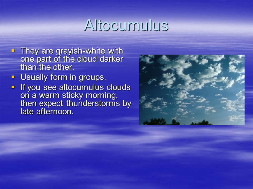
4. Altocumulus clouds: These
are middle level clouds that are made up of water droplets and appear
as grey, puffy masses, sometimes rolled out in parallel waves or bands.
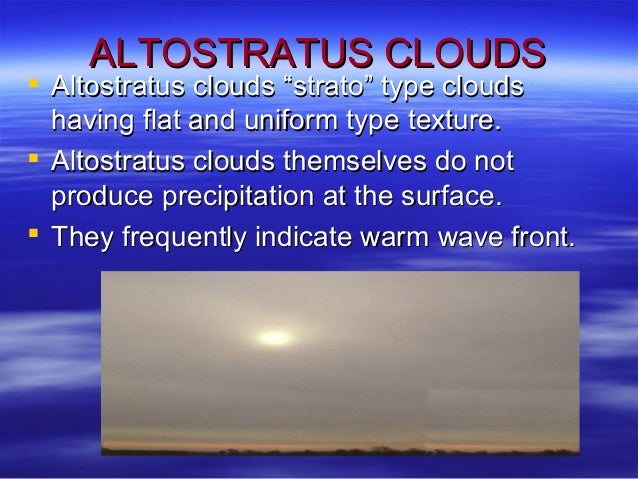
5. Altostratus clouds: These
are grey or bluegrey middle level clouds composed of ice crystals and
water droplets. These clouds usually cover the entire sky. In the
thinner areas of the cloud, the sun may be dimly visible as a round
disk. Altostratus clouds often forms ahead of storms that produces
continuous precipitation.
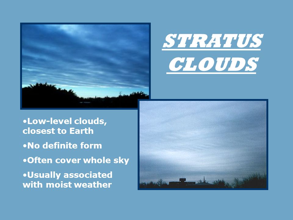
6. Stratus clouds: These
are uniform greyish clouds that often cover the entire sky. They
resemble fog that does not reach the ground. Usually no precipitation
falls from stratus clouds, but sometimes they may drizzle. When a thick
fog "lifts," the resulting clouds are low stratus.
7. Nimbostratus clouds:
These form a dark grey, "wet" looking cloudy layer associated with
continuously falling rain or snow. They often produce precipitation that
is usually light to moderate

8. Cumulonimbus clouds: These
are thunderstorm clouds that form if cumulus congestus clouds continue
to grow vertically. Their dark bases may be no more than 300 m (1000 ft)
above the Earth's surface. Their tops may extend upward to over 12,000 m
(39,000ft). Tremendous amount of energy is released by the condensation
of water vapour within a cumulonimbus. Lightning, thunder, and even
violent tornadoes are associated with the cumulonimbus.

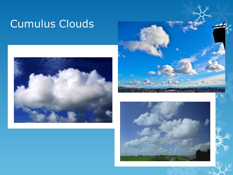
9.Cumulus clouds: These
are puffy clouds that sometimes look like pieces of floating cotton.
The base of each cloud is often flat and may be only 1000 m (330 ft)
above the ground. The top of the cloud has rounded towers. When the top
of the cumulus resembles the head of a cauliflower, it is called cumulus
congestus or towering cumulus. These clouds grow upward, and they can
develop into a giant cumulonimbus, which is a thunderstorm cloud.
Post a Comment
Post a Comment